Ohio
Ohio Planting Zone Map
Ohio has USDA plant hardiness zones 6a to 7a on the 2023 USDA map. The most common zone by county is 6b (45 of 88 counties), then 6a (42).
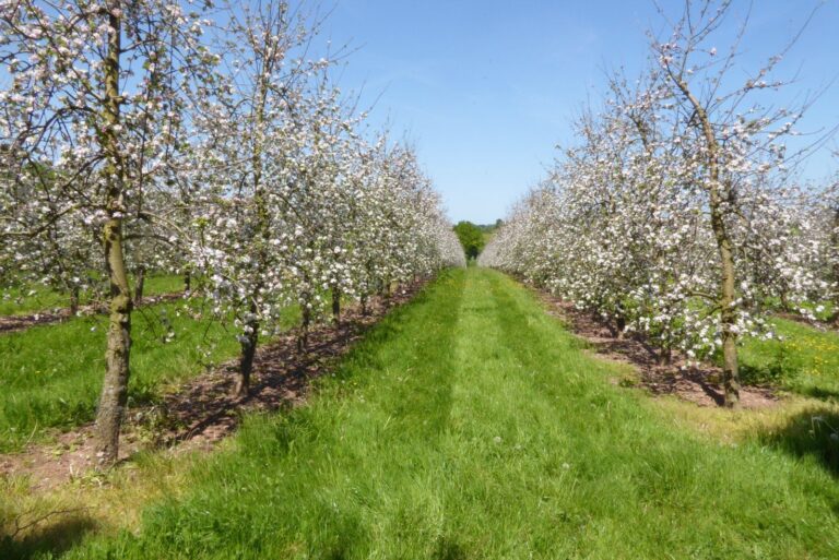
Photo: Rows of apple trees in white blossom along a grassy orchard alley. Philip Halling, CC BY-SA 2.0, via Wikimedia Commons
Find the planting zone for your Ohio county
Zones: USDA ARS 2023 Plant Hardiness Zone Map, main zone of each county by ZIP code area. Frost dates: NOAA 1991-2020 normals.


USDA plant hardiness zone map of Ohio
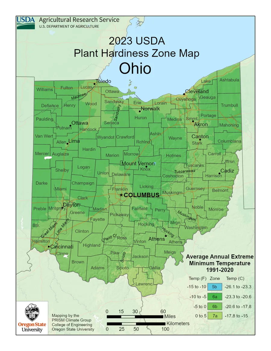
Official USDA Plant Hardiness Zone Map (2023), USDA Agricultural Research Service and Oregon State University PRISM Climate Group, shown reduced in size. Full-size files: USDA map downloads; interactive map: planthardiness.ars.usda.gov.
Ohio counties by main zone
Each county is listed under the zone that covers most of its ZIP code area. Larger or hilly counties can span two or more zones.
Planting zone for every Ohio county
| County | Main zone | Zones in county | Average coldest night | Last frost (50%) |
|---|---|---|---|---|
| Adams | 6b | 6b | -5 to 0°F | Apr 29 |
| Allen | 6a | 6a | -10 to -5°F | Apr 24 |
| Ashland | 6a | 6a | -10 to -5°F | Apr 30 |
| Ashtabula | 6a | 6a, 6b | -10 to -5°F | May 2 |
| Athens | 6b | 6a, 6b | -5 to 0°F | Apr 25 |
| Auglaize | 6a | 6a | -10 to -5°F | Apr 24 |
| Belmont | 6b | 6b | -5 to 0°F | Apr 27 |
| Brown | 6b | 6b | -5 to 0°F | Apr 29 |
| Butler | 6b | 6a, 6b | -5 to 0°F | Apr 22 |
| Carroll | 6b | 6a, 6b | -5 to 0°F | Apr 29 |
| Champaign | 6a | 6a | -10 to -5°F | Apr 24 |
| Clark | 6a | 6a, 6b | -10 to -5°F | Apr 25 |
| Clermont | 6b | 6b, 7a | -5 to 0°F | Apr 23 |
| Clinton | 6b | 6b | -5 to 0°F | Apr 19 |
| Columbiana | 6a | 6a, 6b | -10 to -5°F | May 2 |
| Coshocton | 6b | 6a, 6b | -5 to 0°F | Apr 27 |
| Crawford | 6a | 6a | -10 to -5°F | Apr 19 |
| Cuyahoga | 6b | 6a, 6b, 7a | -5 to 0°F | Apr 8 |
| Darke | 6a | 6a | -10 to -5°F | Apr 21 |
| Defiance | 6a | 6a | -10 to -5°F | Apr 28 |
| Delaware | 6b | 6a, 6b | -5 to 0°F | Apr 22 |
| Erie | 6b | 6a, 6b, 7a | -5 to 0°F | Apr 10 |
| Fairfield | 6a | 6a, 6b | -10 to -5°F | Apr 26 |
| Fayette | 6b | 6a, 6b | -5 to 0°F | Apr 23 |
| Franklin | 6b | 6a, 6b | -5 to 0°F | Apr 20 |
| Fulton | 6a | 6a | -10 to -5°F | Apr 29 |
| Gallia | 6b | 6b, 7a | -5 to 0°F | Apr 18 |
| Geauga | 6a | 6a, 6b, 7a | -10 to -5°F | May 5 |
| Greene | 6b | 6a, 6b | -5 to 0°F | Apr 18 |
| Guernsey | 6b | 6b | -5 to 0°F | Apr 28 |
| Hamilton | 6b | 6b | -5 to 0°F | Apr 17 |
| Hancock | 6a | 6a, 6b | -10 to -5°F | Apr 19 |
| Hardin | 6a | 6a | -10 to -5°F | Apr 22 |
| Harrison | 6b | 6b | -5 to 0°F | Apr 21 |
| Henry | 6a | 6a | -10 to -5°F | Apr 24 |
| Highland | 6b | 6b | -5 to 0°F | Apr 24 |
| Hocking | 6b | 6a, 6b | -5 to 0°F | Apr 30 |
| Holmes | 6a | 6a | -10 to -5°F | May 2 |
| Huron | 6a | 6a, 6b | -10 to -5°F | Apr 25 |
| Jackson | 6b | 6b, 7a | -5 to 0°F | Apr 22 |
| Jefferson | 6b | 6a, 6b, 7a | -5 to 0°F | Apr 29 |
| Knox | 6a | 6a | -10 to -5°F | May 1 |
| Lake | 6b | 6a, 6b, 7a | -5 to 0°F | Apr 15 |
| Lawrence | 7a | 6b, 7a | 0 to 5°F | Apr 30 |
| Licking | 6a | 6a, 6b | -10 to -5°F | Apr 29 |
| Logan | 6a | 6a | -10 to -5°F | Apr 26 |
| Lorain | 6b | 6a, 6b, 7a | -5 to 0°F | Apr 24 |
| Lucas | 6b | 6a, 6b | -5 to 0°F | Apr 20 |
| Madison | 6a | 6a, 6b | -10 to -5°F | Apr 24 |
| Mahoning | 6a | 6a, 6b | -10 to -5°F | May 8 |
| Marion | 6a | 6a | -10 to -5°F | Apr 25 |
| Medina | 6a | 6a, 6b | -10 to -5°F | Apr 29 |
| Meigs | 6b | 6b | -5 to 0°F | Apr 27 |
| Mercer | 6a | 6a | -10 to -5°F | Apr 27 |
| Miami | 6a | 6a, 6b | -10 to -5°F | Apr 18 |
| Monroe | 6b | 6b | -5 to 0°F | Apr 26 |
| Montgomery | 6b | 6a, 6b | -5 to 0°F | Apr 18 |
| Morgan | 6b | 6a, 6b | -5 to 0°F | Apr 27 |
| Morrow | 6a | 6a | -10 to -5°F | Apr 26 |
| Muskingum | 6b | 6a, 6b | -5 to 0°F | Apr 26 |
| Noble | 6b | 6b | -5 to 0°F | Apr 30 |
| Ottawa | 6b | 6b, 7a | -5 to 0°F | Apr 26 |
| Paulding | 6a | 6a | -10 to -5°F | Apr 25 |
| Perry | 6a | 6a, 6b | -10 to -5°F | Apr 30 |
| Pickaway | 6b | 6a, 6b | -5 to 0°F | Apr 17 |
| Pike | 6b | 6b | -5 to 0°F | Apr 21 |
| Portage | 6a | 6a, 6b | -10 to -5°F | May 1 |
| Preble | 6a | 6a, 6b | -10 to -5°F | Apr 25 |
| Putnam | 6a | 6a | -10 to -5°F | Apr 23 |
| Richland | 6a | 6a | -10 to -5°F | Apr 26 |
| Ross | 6b | 6b | -5 to 0°F | Apr 20 |
| Sandusky | 6b | 6a, 6b | -5 to 0°F | Apr 26 |
| Scioto | 6b | 6b, 7a | -5 to 0°F | Apr 17 |
| Seneca | 6a | 6a, 6b | -10 to -5°F | Apr 23 |
| Shelby | 6a | 6a | -10 to -5°F | Apr 27 |
| Stark | 6b | 6a, 6b | -5 to 0°F | Apr 24 |
| Summit | 6b | 6a, 6b | -5 to 0°F | Apr 24 |
| Trumbull | 6a | 6a | -10 to -5°F | May 1 |
| Tuscarawas | 6b | 6a, 6b | -5 to 0°F | Apr 26 |
| Union | 6a | 6a, 6b | -10 to -5°F | Apr 19 |
| Van Wert | 6a | 6a | -10 to -5°F | Apr 21 |
| Vinton | 6b | 6b | -5 to 0°F | Apr 27 |
| Warren | 6b | 6b | -5 to 0°F | Apr 24 |
| Washington | 6b | 6b | -5 to 0°F | Apr 18 |
| Wayne | 6a | 6a, 6b | -10 to -5°F | Apr 29 |
| Williams | 6a | 6a | -10 to -5°F | Apr 28 |
| Wood | 6b | 6a, 6b | -5 to 0°F | Apr 22 |
| Wyandot | 6a | 6a | -10 to -5°F | Apr 29 |
When to plant in Ohio: crop by crop
Planting dates for each crop in Ohio, from the Ohio State University Extension calendar.





Ohio planting zone questions
What planting zone is Ohio?
Ohio has USDA plant hardiness zones 6a to 7a on the 2023 USDA map. The most common zone by county is 6b (45 of 88 counties), then 6a (42).
What does a hardiness zone mean?
A USDA zone is based on the average coldest winter night from 1991 to 2020. Each zone is 10°F wide, split into a and b halves of 5°F.
Did the zones change in 2023?
Yes. USDA released a new map in November 2023 using 1991 to 2020 data. Many places moved half a zone warmer than on the 2012 map.
Does my zone tell me when to plant?
No. Zones are about which perennials survive winter. Planting dates follow frost dates; see Ohio frost dates and the Ohio planting calendar.
How is a county's zone worked out here?
From the USDA 2023 zone of each ZIP code, joined to Census ZIP code areas. The main zone covers most of the county's ZIP code area.
Can I use the USDA map image?
USDA publishes the official map as a public-domain image. The map on this page is the official file, reduced in size, with a link to the full-size version.

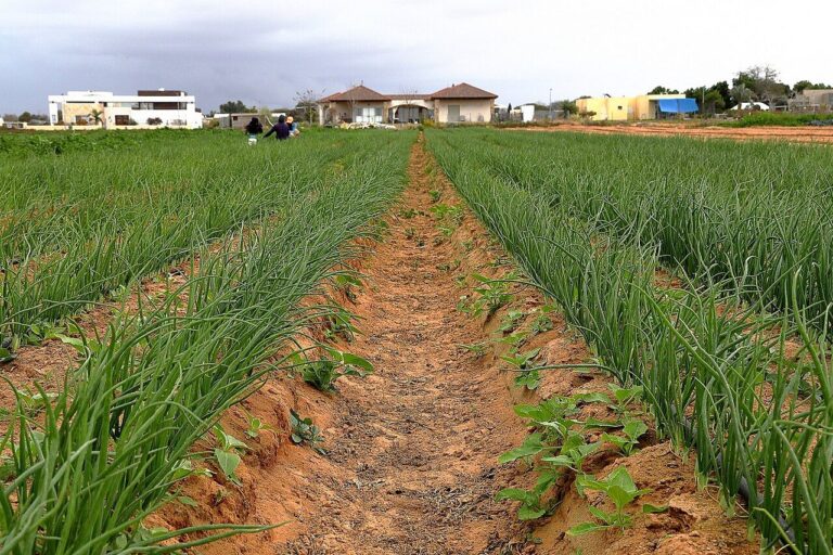
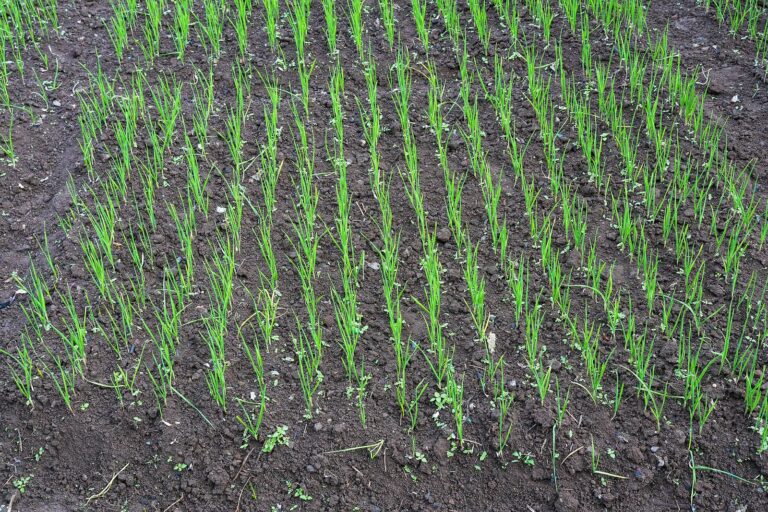
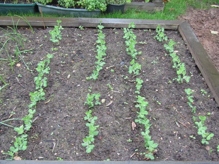
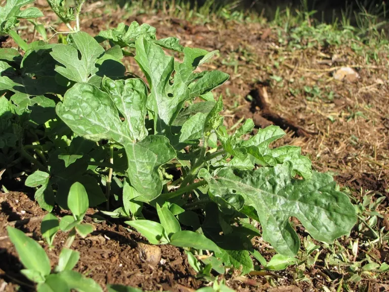
Photos: Rows of apple trees in white blossom along a grassy orchard alley: Philip Halling, CC BY-SA 2.0, via Wikimedia Commons; Farms, fields and trees on rolling hills in Amish Country, Holmes County: S. Clyde, Public domain, via Wikimedia Commons; Red sunrise behind a windmill and farm pond in northeast Ohio: Scott Bauer, USDA NRCS, Public domain, via Wikimedia Commons; Weathered wooden barn on a mown lot in Washington Court House, Fayette County: Pam Broviak, CC0 1.0, via Flickr; Red barns at the Armstrong Farm near Upper Sandusky, Wyandot County: Nyttend, Public domain, via Wikimedia Commons; Tomato plant with fruit in a garden: MavisLee, CC BY-SA 3.0, via Wikimedia Commons; Pepper plant in a kitchen garden loaded with green, yellow and red peppers: NPS, Public domain, via Wikimedia Commons; Potato plant growing in a garden bed: Kolforn (Kolforn), CC BY-SA 4.0, via Wikimedia Commons; Field of sweet corn in summer: Marathon, CC BY-SA 2.0, via Wikimedia Commons; Clusters of long green bean pods hanging from a climbing bean vine: Nirajan_pant, CC BY-SA 3.0, via Wikimedia Commons; Cucumber plants growing in a greenhouse bed: HARTLEPOOLMARINA2014, CC BY-SA 4.0, via Wikimedia Commons; Harvested zucchini and summer squash: nociveglia from Appennino Emiliano, Italy, CC BY 2.0, via Wikimedia Commons; Heads of lettuce in a garden bed: Prenn, CC BY-SA 3.0, via Wikimedia Commons; Long rows of green onion plants growing in sandy farm soil: ליזי שאנן, CC BY 2.5, via Wikimedia Commons; Neat rows of young garlic shoots growing in dark tilled soil: Timothy A. Gonsalves, CC BY-SA 4.0, via Wikimedia Commons; Rows of young pea plants in a vegetable patch: Kolforn (Kolforn), CC BY-SA 4.0, via Wikimedia Commons; Young watermelon plant in a garden: Forest and Kim Starr, CC BY 3.0 us, via Wikimedia Commons.