Home › North Carolina › Drought now
North Carolina
North Carolina Drought Monitor by County
This page shows the latest U.S. Drought Monitor numbers for any North Carolina county. The county list below covers all 100 counties, and each result is set against the maps from one and four weeks ago.
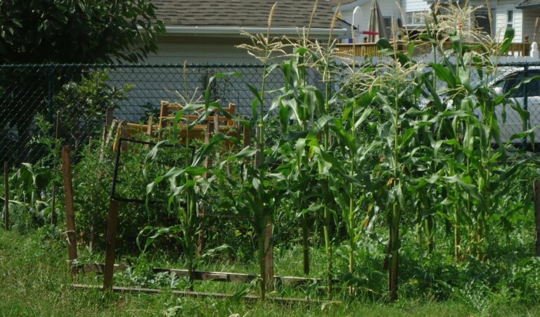
Photo: Tall corn and other vegetables growing in a fenced backyard garden. Tomwsulcer, CC0, via Wikimedia Commons
North Carolina county drought status this week
Numbers load from the weekly U.S. Drought Monitor county statistics.
The five drought categories
| Category | Name | Possible impacts, as the Drought Monitor describes them |
|---|---|---|
| D0 | Abnormally Dry | Going into drought: short-term dryness slowing planting and growth of crops or pastures. Coming out of drought: some lingering water deficits. |
| D1 | Moderate Drought | Some damage to crops and pastures; streams, reservoirs or wells low; some water shortages developing. |
| D2 | Severe Drought | Crop or pasture losses likely; water shortages common; water restrictions may be imposed. |
| D3 | Extreme Drought | Major crop and pasture losses; widespread water shortages or restrictions. |
| D4 | Exceptional Drought | Exceptional and widespread crop and pasture losses; shortages of water in reservoirs, streams and wells, creating water emergencies. |
Category names and descriptions follow the U.S. Drought Monitor drought classification. The map is made by authors who combine rainfall, soil, streamflow and local reports, and it is released every Thursday for conditions on the Tuesday before.
Official North Carolina drought status pages
NC Drought Management Advisory Council
North Carolina publishes drought status by county. The council's county classification is the highest drought designation on the U.S. Drought Monitor that applies to at least 25 percent of the land area of the county, so it can differ from the percentages shown above.
North Carolina Drought Management Advisory Council. Current conditions as of November 10, 2026 at 8am ET when read. Read November 14, 2026.
More for North Carolina: North Carolina on Drought.gov, lawn care calendar, what to plant now and North Carolina gardening.
North Carolina drought now: questions
Where can I see drought by county in North Carolina?
Use the county list above. For the county you pick, the page lists how much of its area falls in D0 through D4 on the latest map and on the two earlier maps used for comparison.
Is the drought data weekly?
Weekly, on Thursdays. The data describe the period ending the previous Tuesday. A saved copy of the latest county figures is refreshed from the Drought Monitor data service twice a day.
Why do the percentages add up past 100?
Each row gives the portion of a county at that level of drought or worse. Because the rows overlap, D0 is always the largest figure and D4 the smallest. Counties are often split between categories.
Is there a North Carolina outdoor watering ban?
North Carolina publishes drought status by county. The council's county classification is the highest drought designation on the U.S. Drought Monitor that applies to at least 25 percent of the land area of the county, so it can differ from the percentages shown above. Source: North Carolina Drought Management Advisory Council, Current conditions as of November 10, 2026 at 8am ET when read.
Is the drought data official?
Figures come from the National Drought Mitigation Center, which runs the U.S. Drought Monitor with USDA and NOAA. They are read from its county statistics service, not from news reports or forecast sites.
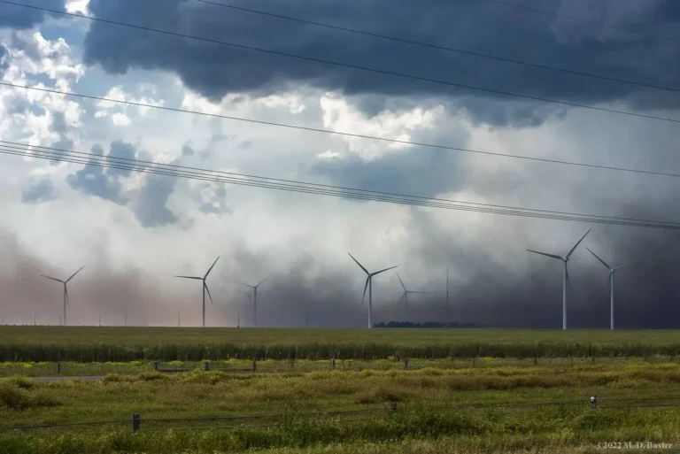
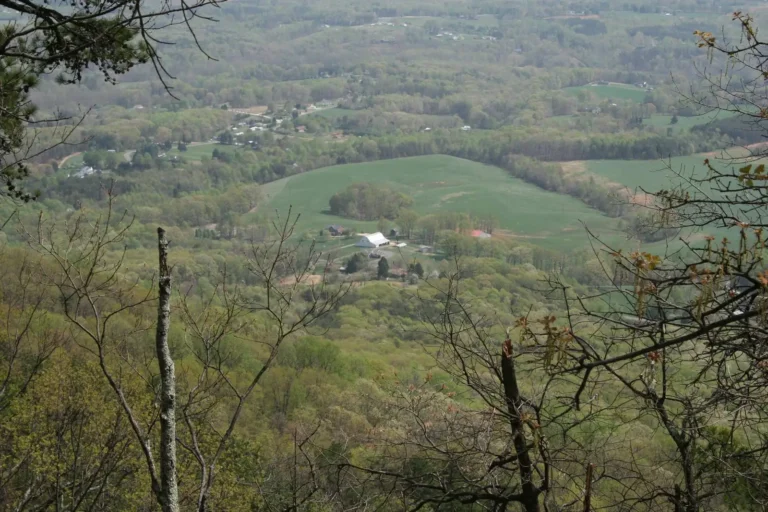
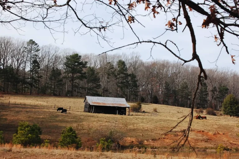
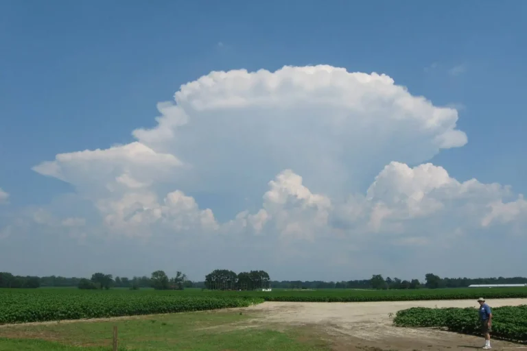
Photos: Tall corn and other vegetables growing in a fenced backyard garden: Tomwsulcer, CC0, via Wikimedia Commons; Storm front over wind turbines and farm fields near Elizabeth City, Pasquotank County: BAXINTHE757, CC BY-SA 2.0, via Flickr; Farm fields in a wooded valley, Surry County: Chris_Short, CC BY-SA 2.0, via Flickr; Pasture and old barn across a pond in Moore County: Donald Lee Pardue, CC BY 2.0, via Flickr; Thunderhead over crop fields in Jones County: Elaine with Grey Cats, CC BY-SA 2.0, via Flickr.