
Ohio
Ohio Drought Monitor by County
The weekly U.S. Drought Monitor puts every Ohio county on a five step scale. The county list below returns the share of land area at each step for the latest map and for the maps one and four weeks back.
Photo: Rainbow chard growing beside orange marigolds in a raised garden bed. Missvain, CC BY 4.0, via Wikimedia Commons
Ohio drought by county, latest map
Numbers load from the weekly U.S. Drought Monitor county statistics.


Drought categories and their impacts
| Category | Name | Possible impacts, as the Drought Monitor describes them |
|---|---|---|
| D0 | Abnormally Dry | Going into drought: short-term dryness slowing planting and growth of crops or pastures. Coming out of drought: some lingering water deficits. |
| D1 | Moderate Drought | Some damage to crops and pastures; streams, reservoirs or wells low; some water shortages developing. |
| D2 | Severe Drought | Crop or pasture losses likely; water shortages common; water restrictions may be imposed. |
| D3 | Extreme Drought | Major crop and pasture losses; widespread water shortages or restrictions. |
| D4 | Exceptional Drought | Exceptional and widespread crop and pasture losses; shortages of water in reservoirs, streams and wells, creating water emergencies. |
Category names and descriptions follow the U.S. Drought Monitor drought classification. The map is made by authors who combine rainfall, soil, streamflow and local reports, and it is released every Thursday for conditions on the Tuesday before.
Watering restrictions and drought declarations in Ohio
Ohio on Drought.gov
No Ohio state agency page with a statewide drought or watering restriction status was found for this page. Drought.gov, the federal drought portal, shows the U.S. Drought Monitor for Ohio. Local water systems set their own restrictions.
NOAA National Integrated Drought Information System (federal). Data valid November 10, 2026 when read. Read November 14, 2026.
More for Ohio: Ohio on Drought.gov, lawn care calendar, what to plant now and Ohio gardening.
Ohio drought now: questions
Where do I look up Ohio county drought?
Select your county above to read its figures. Each category shows the county share on the latest release alongside the earlier releases. The U.S. Drought Monitor site has the map picture.
What day does the drought map come out?
Drought Monitor maps appear on Thursdays and reflect the Tuesday prior. The county numbers on this page come from the Drought Monitor data service and are stored on this site between updates.
Why does D0 include D1 to D4?
The figures stack: D2 or worse includes D3 and D4 areas. Values range from 0 to 100 percent of the county, and the map often splits a county between categories.
What do Ohio agencies say about watering?
No Ohio state agency page with a statewide drought or watering restriction status was found for this page. Drought.gov, the federal drought portal, shows the U.S. Drought Monitor for Ohio. Local water systems set their own restrictions. Source: NOAA National Integrated Drought Information System (federal), Data valid November 10, 2026 when read.
Who makes the drought map?
This page uses only the U.S. Drought Monitor county statistics, published by the National Drought Mitigation Center in partnership with USDA and NOAA. Agency statements below come from the state pages linked.

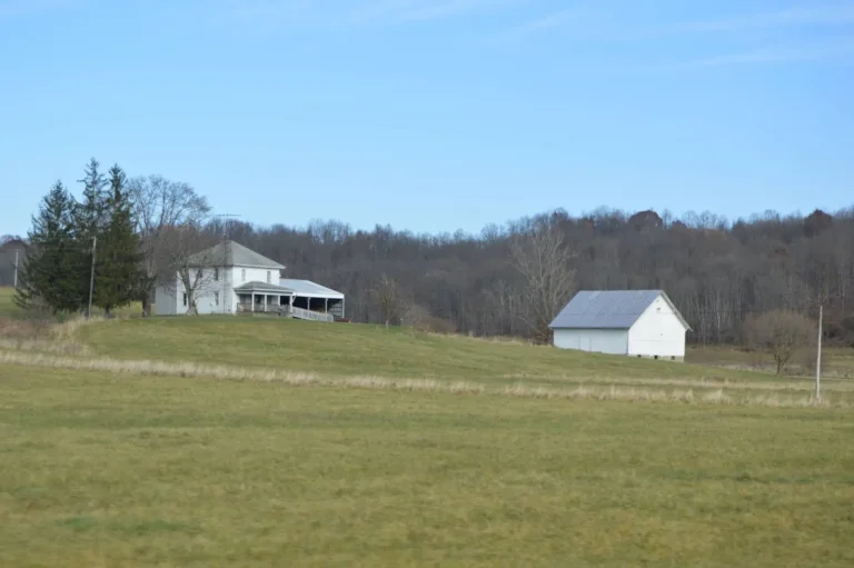
Photos: Rainbow chard growing beside orange marigolds in a raised garden bed: Missvain, CC BY 4.0, via Wikimedia Commons; Rolling pasture valley and wooded hills in Salem Township, Jefferson County: Nyttend, Public domain, via Wikimedia Commons; Green crop field and farm buildings at Wiers Farm, Huron County: Kirk Allen, CC BY 3.0, via Wikimedia Commons; Harvested stubble field and woodlot near Holgate, Henry County: Nyttend, Public domain, via Wikimedia Commons; Flat green soybean fields under a blue sky near Deshler, Henry County: Nyttend, Public domain, via Wikimedia Commons; Farmstead and pasture below wooded hills west of Cumberland, Guernsey County: Nyttend, Public domain, via Wikimedia Commons.