
Georgia
Georgia Drought Monitor by County
Each Thursday the U.S. Drought Monitor publishes a new map. Choose one of the 159 Georgia counties below to read how much of it sits in each drought category, with the figures from one and four weeks before.
Photo: Rainbow chard growing beside orange marigolds in a raised garden bed. Missvain, CC BY 4.0, via Wikimedia Commons
Drought status for your Georgia county
Numbers load from the weekly U.S. Drought Monitor county statistics.
What D0 to D4 mean
| Category | Name | Possible impacts, as the Drought Monitor describes them |
|---|---|---|
| D0 | Abnormally Dry | Going into drought: short-term dryness slowing planting and growth of crops or pastures. Coming out of drought: some lingering water deficits. |
| D1 | Moderate Drought | Some damage to crops and pastures; streams, reservoirs or wells low; some water shortages developing. |
| D2 | Severe Drought | Crop or pasture losses likely; water shortages common; water restrictions may be imposed. |
| D3 | Extreme Drought | Major crop and pasture losses; widespread water shortages or restrictions. |
| D4 | Exceptional Drought | Exceptional and widespread crop and pasture losses; shortages of water in reservoirs, streams and wells, creating water emergencies. |
Category names and descriptions follow the U.S. Drought Monitor drought classification. The map is made by authors who combine rainfall, soil, streamflow and local reports, and it is released every Thursday for conditions on the Tuesday before.
Where Georgia publishes drought and water restriction status
Georgia EPD Drought Management
On April 27, 2026 the EPD Director declared a state-wide Drought Response Level 1 for public water systems. The page says outdoor water use between 4 PM and 10 AM is still allowable and unaffected by Level 1, and records the Director's decision to maintain a statewide Level 1 at August 14, 2026 meetings. No later decision was printed when the page was read on November 14, 2026, so check the page for the current level.
Georgia Environmental Protection Division. No update date printed; latest items dated August 14, 2026. Read November 14, 2026.
More for Georgia: Georgia on Drought.gov, lawn care calendar, what to plant now and Georgia gardening.
Georgia drought now: questions
Is my county in Georgia in a drought?
Choose your county in the list near the top of the page. The result gives the share of its land area in each drought category on the newest map, plus the shares from one and four weeks before. A statewide map is at droughtmonitor.unl.edu.
When does the Drought Monitor update?
A new map is released each Thursday, and it describes conditions through the Tuesday before. The site stores the most recent county statistics it received, so the page loads without waiting on the data service.
What does D1 or worse mean?
The percentages are cumulative. D1 counts everything in D1 through D4, and D0 counts everything from D0 up. One county can fall into more than one category because the map draws boundaries across county lines.
Are there watering restrictions in Georgia?
On April 27, 2026 the EPD Director declared a state-wide Drought Response Level 1 for public water systems. The page says outdoor water use between 4 PM and 10 AM is still allowable and unaffected by Level 1, and records the Director's decision to maintain a statewide Level 1 at August 14, 2026 meetings. No later decision was printed when the page was read on November 14, 2026, so check the page for the current level. Source: Georgia Environmental Protection Division, No update date printed; latest items dated August 14, 2026.
Who publishes the drought data?
The data service of the U.S. Drought Monitor supplies the county figures. The Monitor is produced by the National Drought Mitigation Center at the University of Nebraska-Lincoln with USDA and NOAA, and no other weather source is used.
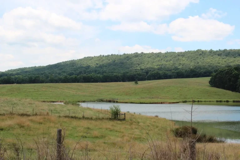
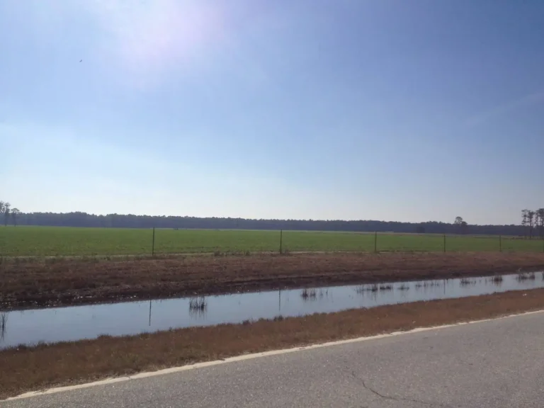
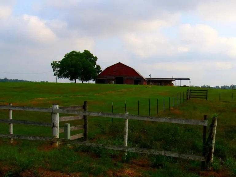
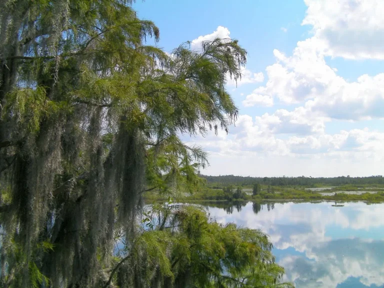
Photos: Rainbow chard growing beside orange marigolds in a raised garden bed: Missvain, CC BY 4.0, via Wikimedia Commons; Pasture and farm pond below wooded Blackjack Mountain in Carroll County: Thomson20192, CC0 1.0, via Flickr; Flat open fields and a drainage ditch under a wide sky in Berrien County: VLMPO, CC BY 2.0, via Flickr; Red barn and green pasture behind a wooden fence outside Hawkinsville in Pulaski County: Ken Lund, CC BY-SA 2.0, via Flickr; Pond cypress draped in Spanish moss beside open prairie water in the Okefenokee Swamp: Moultrie Creek from St. Augustine, FL, USA, CC BY-SA 2.0, via Wikimedia Commons.